The Geography of Russie
With a total area exceeding 17 million square kilometers, Russie is the world's largest country by landmass. Its territory spans 9 time zones and extends east to west over approximately 9,000 km and north to south over approximately 3,000 km.
With a total area exceeding 17 million square kilometers, Russie is the world's largest country by landmass. Its territory spans 9 time zones and extends east to west over approximately 9,000 km and north to south over approximately 3,000 km.
Russie and Its Islands
The country is surrounded by the Arctic Ocean and the Pacific Ocean, as well as the Atlantic Ocean via the Baltic Sea. It's worth noting that Russie has numerous islands—nearly sixty in the Arctic Ocean and approximately twenty islands in the Pacific Ocean.
Russian Islands of the Arctic Ocean
In the Barents Sea:
Alexandra Land
This island was named in honor of Alexandra of Denmark, the largest island of the Franz Joseph Archipelago which covers approximately 1,095 km².
George Land
This island spans nearly 2,821 km² and is also part of the Franz Joseph Archipelago.
Kolguev Island
Nearly circular in shape, it is located in the southeast of the Barents Sea. Its area is approximately 4,968 km². It consists primarily of vast wetland zones dotted with tundra, peatlands, and moraines. It was only at the beginning of the 18th century that the island welcomed its first inhabitants—dissidents from the Old Believers. Unfortunately, they survived only a year, as the majority perished from scurvy. Later, in the 19th century, the Nenets began settling on the island, in the village of Bugrino, in the southeast. They lived primarily from fishing and reindeer herding.
In the Kara Sea
Bely Island
This island is frozen nearly year-round and covers approximately 1,810 km². It was used shortly before the Second World War by German scientists for the preparation of Operation Wunderland.
Russian Islands of the Pacific Ocean
The Kuril Islands
This is an archipelago composed of about thirty islands, of which only 4 are inhabited. The avian fauna is particularly abundant there. Among the seabirds recorded in the region, one notes notably the crested auklet, the guillemot, the northern fulmar, the petrel, the gull, and the kittiwake.
Relief
Russie has several massifs on its territory, including several mountain ranges.
The Major Russian Mountain Ranges
The Urals
This range extends over more than 2,000 km from north to south, running from the Kara Sea to Kazakhstan. The Urals naturally demarcate the boundary between the European and Asian continents.
The Greater Caucasus
This mountain chain is approximately 1,200 km long and extends from northwest to southeast, running from the Taman Peninsula to the Absheron Peninsula and the Western Caucasus, north of the city of Sochi.
The Chersky Mountains
These mountain ranges, oriented northwest-southeast, are located in the northeast of Russie, specifically in Eastern Siberia. They extend nearly 1,000 km and have Mount Pobeda (3,003 m) as their highest point.
The Country's Major Peaks
Mount Elbrus
Situated in the northwest of the Caucasus and rising to 5,642 m in altitude, Mount Elbrus is a dormant volcano dating back more than 10 million years. It is the highest peak in the country and in Europe. Moreover, significant biodiversity has been recorded around Elbrus, notably birds such as the Caucasian black grouse, the bearded vulture, the saker falcon, and the golden eagle. Beyond birds, there is also the presence of amphibians such as the common spadefoot, the tree frog, the marsh frog, and the newt (Triturus vittatus ophryticus), which appears in the famous Red Book of Russie. There is also Kaznakov's viper, a threatened species endemic to the region.
Klyuchevskaya Sopka
This peak, also known as Klyuchevskaya Sopka, is a stratovolcano that rises to 4,835 m in altitude. From its height, it dominates all volcanoes located in the Russian Far East. Indeed, it is the highest peak in Siberia. It is also the most active volcano on the Kamchatka Peninsula. It should be noted that this giant of nature is classified as a UNESCO World Heritage Site. Its formation dates back more than 6,000 years. It is characterized by steep and symmetrical slopes.
Mount Belukha
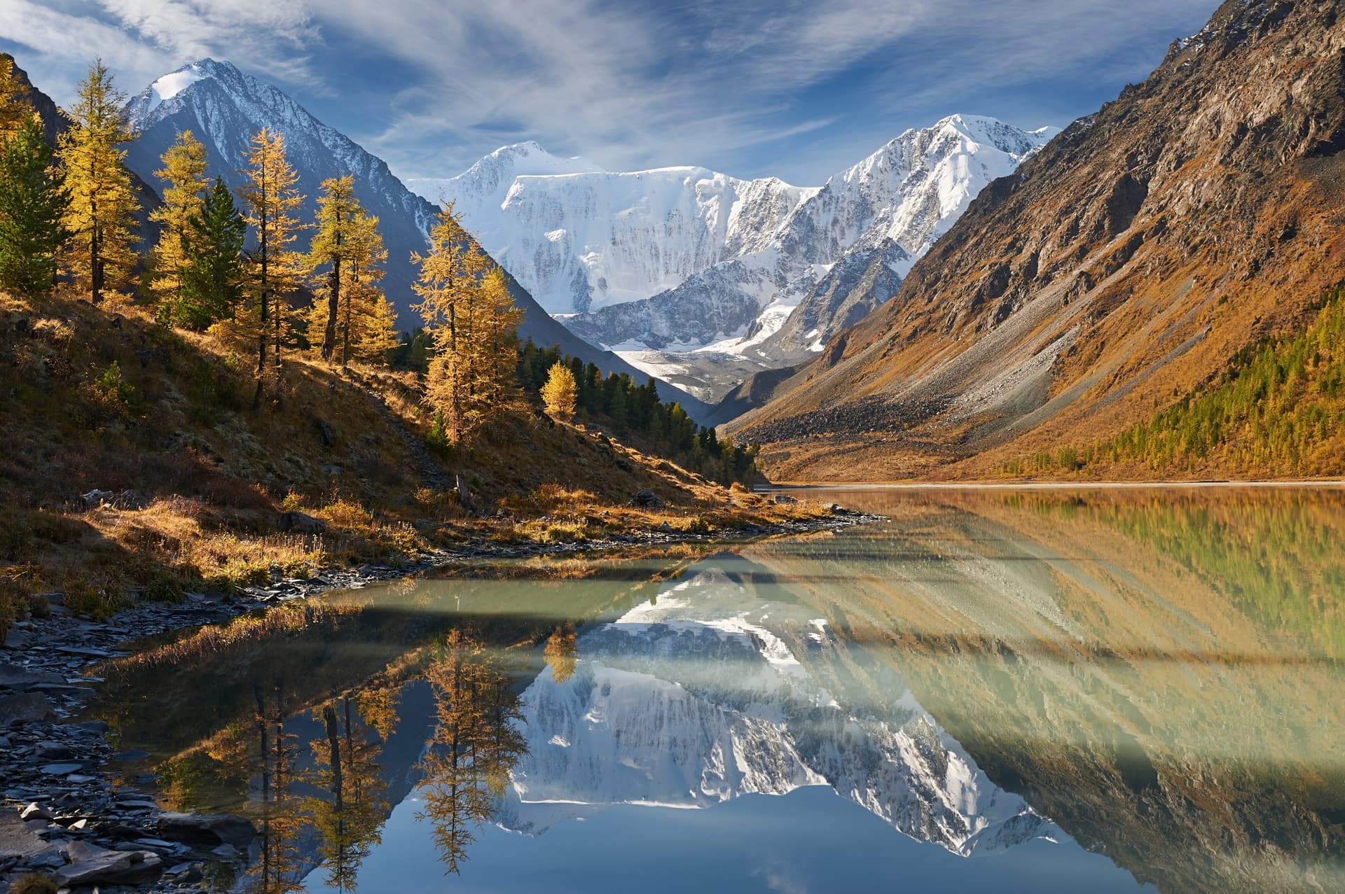
This massif is located in the center of the Altai, between the border of Russie and Kazakhstan. It is part of the Katun Nature Reserve and is listed on the UNESCO World Heritage list. It rises to 4,506 m in altitude, making it the second-highest peak in Siberia after Klyuchevskaya Sopka. Furthermore, Lake Akkem is found at the foot of Belukha, at approximately 2,050 m in altitude.
The Volga, Europe's Greatest River
Originating in the Valdai Hills, the Volga is the longest river in the European continent with a drainage basin of 1,350,000 km². It runs through the country from north to south over nearly 3,690 km before emptying into the Caspian Sea.
The Volga plays an essential role in the country's economy.